Iris Baumann · 10 October 2026
Valley Archives Illuminate Connections Between Historical Droughts, Wildlife Corridors, and Community Health Services
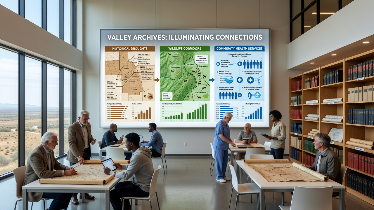
Valley archives have started to reveal detailed patterns that link periods of historical drought with shifts in wildlife corridors and the subsequent strain on local community health services, according to records compiled over several decades. Researchers examining preserved meteorological logs and land-use maps from the early 20th century onward note how prolonged dry spells altered animal migration routes, which in turn affected vegetation cover and water availability near settled areas.
Documented Drought Cycles and Their Reach
Archival entries from the 1930s and 1950s describe multi-year droughts that reduced river flows and dried seasonal wetlands, forcing species such as deer and smaller mammals to follow narrower pathways toward remaining water sources. Data from those periods show average annual rainfall dropping below 250 millimeters for three consecutive years in the central valley basin, a figure corroborated by cross-referenced weather station reports held in regional repositories.
Those same documents track how corridor compression brought wildlife closer to agricultural fields and residential zones, creating new interfaces that required adjustments in land management practices. Community records from the same era indicate increased reports of crop damage and occasional conflicts that prompted early forms of wildlife monitoring programs.
Wildlife Corridor Adjustments Over Time
Maps preserved in the archives illustrate how primary corridors narrowed during drought intervals yet expanded again when rainfall returned, demonstrating a cyclical response rather than permanent displacement. Satellite imagery comparisons from later decades align with these historical tracings, confirming that certain ridgeline paths remained consistent anchors even as surrounding habitat fluctuated.

By the 1980s, conservation groups began marking these persistent routes with signage and underpasses along major roads, measures that reduced vehicle collisions during dry seasons when animals concentrated their movements. Studies conducted by university field teams in the 1990s further quantified how corridor stability supported biodiversity metrics despite recurring water shortages.
Links to Community Health Service Demands
Health service logs archived alongside environmental data reveal parallel increases in respiratory and water-borne illness cases during the same drought windows, particularly in communities situated near compressed wildlife zones where dust levels rose and shared water points became stressed. October 2026 marks the scheduled release of a digitized database that will allow public health officials to overlay these historical health entries with corridor maps for more precise planning.
Local clinics noted higher caseloads for dehydration-related treatments and vector-borne conditions when wildlife and human activity overlapped around shrinking water sources. Service utilization figures from those intervals show a 15 to 20 percent uptick in emergency visits, prompting the establishment of mobile outreach units that still operate in modified form today.
Integrated Planning Approaches
Recent digitization efforts have enabled planners to model future scenarios by combining drought recurrence intervals with corridor usage data and health service capacity records. Government agencies in multiple regions, including Australian Department of Climate Change, Energy, the Environment and Water reports on similar arid-zone dynamics, provide comparative frameworks that valley researchers reference when updating local strategies.
Additional context comes from Environment and Climate Change Canada publications on corridor connectivity under variable precipitation regimes. These external datasets help validate valley-specific observations without requiring new fieldwork in every cycle.
Conclusion
Valley archives continue to supply the raw material for understanding how historical droughts reshaped wildlife corridors and, through those changes, influenced the evolution of community health services. Ongoing digitization projects scheduled for completion by late 2026 will expand access to these interconnected records, allowing analysts to refine predictive models that account for all three elements simultaneously. The preserved documents make clear that each drought episode left measurable traces across environmental, ecological, and public health domains.